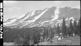
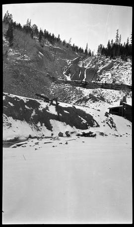
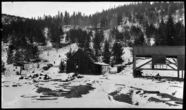
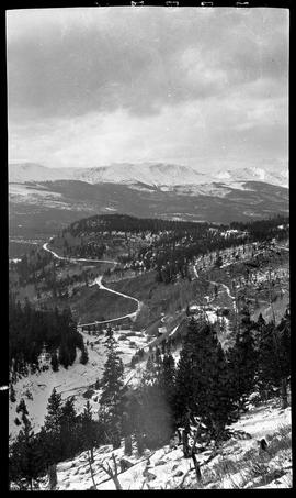
Buildings, including a log cabin, an L-shaped board and batten building, and a two-story board and batten structure in the snow covered landscape. Probably the Pennsylvania mill in Peru Creek, near Montezuma, Colorado. A mine dump is visible in the trees in the background. Tram cables can be seen from the middle left going to the upper right of the photograph.
Sayre, Robert H.West side of Bald Mountain above Boreas Pass on the Breckenridge, Colorado, side. In the foreground is mine shaft housing (note sheave/pulley wheel at top) with mine dump to the left of the building. Wood water storage tank to the right. Caption reads: "WM + AC & W 6/2/22". Probably east/uphill of the railroad tracks. The two strips of snow on the right side of the mountain are called Orion and The Duke (from left to right).
Sayre, Robert H.Mine workings covered in snow. Probably in the Montezuma or Peru Creek area. Summit County, Colorado.
Sayre, Robert H.The Puzzle Mine workings in Illinois Gulch (Illinois Park), southeast of Breckenridge, Colorado. The small railroad trestle or bridge uphill from the mine was located between Hookeye Curve and the Gold Pan trestle.
Sayre, Robert H.Snow-covered mine shaft house with rails leading out to the mine dump/tailings embankment. Probably in the Montezuma or Peru Creek area in Summit County, Colorado.
Sayre, Robert H.View looking northwest towards the Tenmile Range with Illinois Gulch (Illinois Park) in the foreground. The Gold Pan trestle can be seen with the railway line curving around Barney Ford Hill. The Dunkin Mine is on the right. Southeast of Breckenridge, Colorado.
Sayre, Robert H.